Tier 1 and 2 Non-Tidal Monitoring
All Tier 1 and Tier 2 non-tidal water quality monitoring projects submitting data to the Chesapeake Monitoring Cooperative (CMC) follow the Environmental Protection Agency (EPA) approved CMC Water Quality Monitoring in Non-Tidal Waters Quality Assurance Project Plan (QAPP), approved in 2022. Any group that does not follow appropriate methods or quality assurance procedures defined in the Non-Tidal QAPP will be labeled as provisional, provisional Tier 1 or provisional Tier 2 until they meet the minimum requirements for their designated tier.
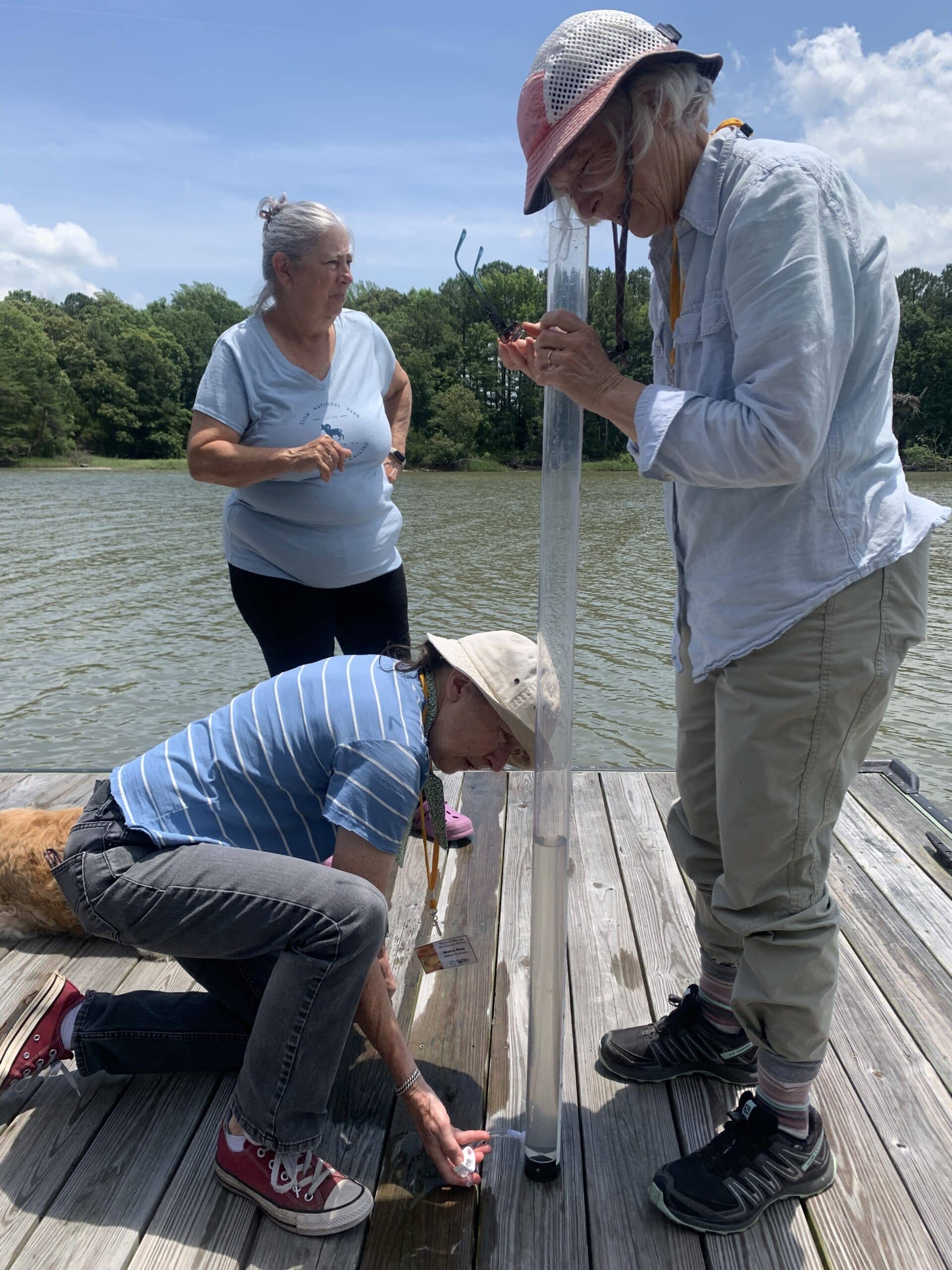
Sample Collection
Tier 1 and Tier 2 non-tidal water quality monitoring groups collect discrete surface samples using in-situ sensors or probes, monitoring kits, or lab grab samples that utilize reliable quality assurance procedures and standardized protocols in non-tidal waters of the Chesapeake Bay watershed. Most programs use a combination of techniques to analyze a suite of parameters based on resources available. All equipment, technologies and sampling methods selected for this project are used to monitor baseline surface water conditions following the EPA volunteer monitoring methods for streams. Individual groups may have more specific methods to meet specific objectives, like targeting restorations projects, tracking bacteria levels for human health, etc.
Samples are collected at the surface of a waterway, either at 0.3m, 0.5m or 1.0m below the surface depending on equipment capabilities and depth of the stream. Samples are typically collected by wading into a stream, from a bridge or overpass, or from a dock/pier. Monitors can use a bucket or sampling pole to facilitate sample collection if needed.
Parameters
Non-tidal water quality monitoring projects sample the following parameters. Each monitoring group selects parameters, equipment and analytical methods used for their program based on their individual monitoring needs and desired data use goals.
|
|
|
The full list of approved parameters, sampling procedures, and equipment along with the highest achievable tier and the requirements to meet that tier designation for field data are listed in the CMC Non-Tidal QAPP.
Monitoring Timelines
Each monitoring group participating has their own project timeline tailored to their specific monitoring program and data needs. Typical sampling frequencies include, but are not limited to:
- Once monthly water quality sampling – typically occurs year-round when possible, but can be done at a minimum from March to November.
- Biweekly water quality sampling – typically occurs year-round when possible, but can be done at a minimum from March to November.
- Weekly water quality sampling – typically occurs during the summer months, May through September/October.
- Combination of timeframes – some monitoring programs perform weekly sample collection in the summer and monthly sample collection the rest of the year.
Data Use
The primary intended data user for Tier 1 and 2 data is the monitoring group collecting the data. Each monitoring group submitting data to the CMC has their own defined data use goals based on the local interests and water quality concerns.
Additionally, data are uploaded to the Chesapeake Bay Program (CBP) annually and are available to fill in data gaps throughout CBP workgroups.
Lastly, monitoring groups can opt in to data sharing with state agencies in response to Data Solicitation Notices for the State’s Integrated Reports. Each state has their own standards, criteria, and processes for utilizing volunteer data in their Integrated Reports.
Service Providers
The Alliance for the Chesapeake Bay works with non-tidal monitoring groups in Virginia, West Virginia, Maryland, District of Columbia and Delaware. ALLARM works with non-tidal monitoring groups in Pennsylvania and New York. UMCES works with any monitoring groups to provide data interpretation and visualization workshops.
If you are interested in starting a new non-tidal monitoring program or want your existing non-tidal monitoring program to be integrated into the CMC, fill out this Application for Assistance to connect with your local Service Provider.